Map Reading Workshop in the Chiltern Hills
Compass, Map and Gutsy Girls
This was a totally spontaneous day trip for Charlie. She had been paddleboarding with Gutsy Girls in London for a while and never really considered any of their other outdoor activities. On a Friday evening she received a message – the host for the map reading workshop the next day wasn’t feeling well and asked if anybody could cover for her. Charlie couldn’t remember when she had been hiking last, but it sounded interesting, and she had time. All she had to do was find her hiking boots and board a train to Berkhamsted.
The hike started outside the station near the castle ruins on Saturday morning. Charlie joined 6 Gutsy Girls who were all (more or less) regular hikers. During the 7-mile-hike in the Ashridge Estate they would learn how to read a map, use a compass and plan a trip. The tour was guided by expedition guide and adventure photographer Ian Finch of WalkWild.
How to read a map
Starting point was at the train station in Berkhamsted. After an initial 15-minute walk, the group stopped in the shade of a tree and sat down in the grass. So far, it had all been fun and games, now they had to use their brains. Ian explained what the different lines on the map meant and how to plan a hiking route. They learned about different terrain, contours and how to navigate through all of that. Charlie and the others almost felt a bit overwhelmed by all the information they had to take in.
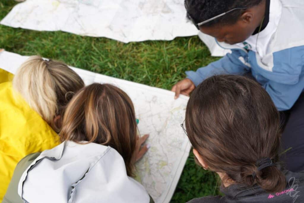
The workshop became more practical when they started to use a compass. Ian explained how to take a compass bearing and talked about his experience and the situations where a compass has proven useful. After this intense theory session, they were ready to start.
Learning on the go
It was time to put the theoretical knowledge into practice. They would take turns in pairs in leading the group to the next spot that Ian pointed out. It could be a crossing of paths, a natural boundary, a sudden incline, a group of trees or anything else you could find in the Chiltern Hills. It sounds easier than it is because the reality might look different than what you imagine when looking at the map.
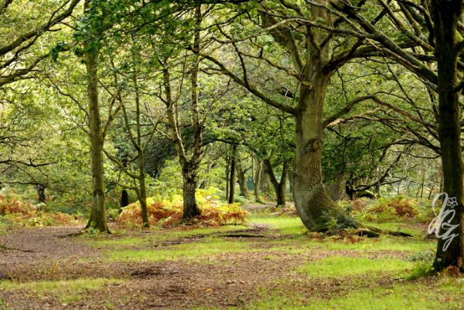
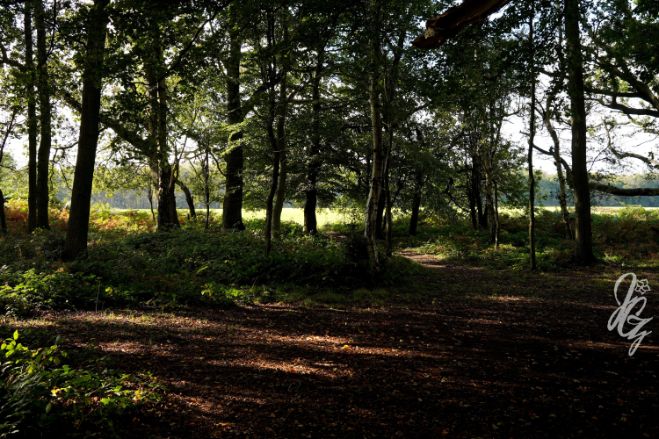
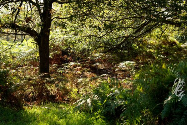
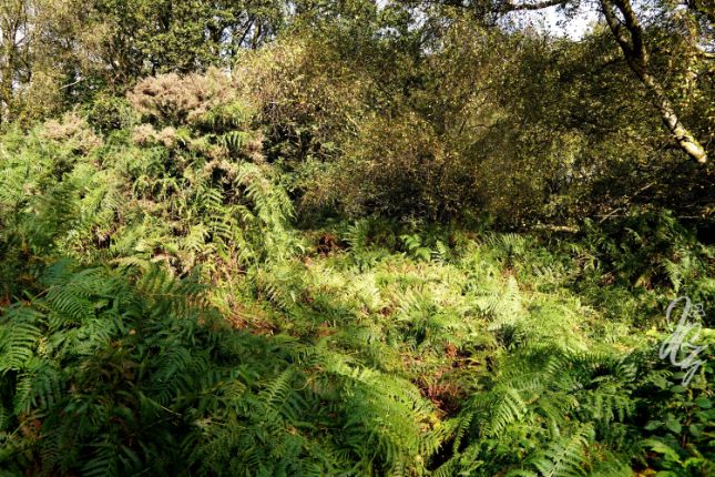
For lunch they chose a spot in between trees and ferns before walking deeper into the forest. They suddenly understood what Ian had been talking about when he said: “That dotted line on the map means that there might be a path or there might be not.” In this case, it was more not than path. The girls made their way through ferns, bushes and fallen trees until they reached a farm near a pond.
The last bit of the way was meant to happen without maps. The compass would lead the way. If that sounds difficult, try folding a map! That was certainly the bigger challenge in that moment.
The group made it back to Berkhamsted station safely and with plenty of knowledge, good memories and some new friends.
Check out other day trips with Gutsy Girls or outdoor adventures with WalkWild.